This triangular area covers about 61,100 square kilometers It is 370 km long and 150 240 km wide and extends north into a broad isthmus linking Africa and Asia. Sinai is bounded on the East by the Gulf of Aqaba and on the West by the Gulf of Suez, which is linked to the Mediterranean Sea by the Suez Canal; the Negev desert is to the northeast.
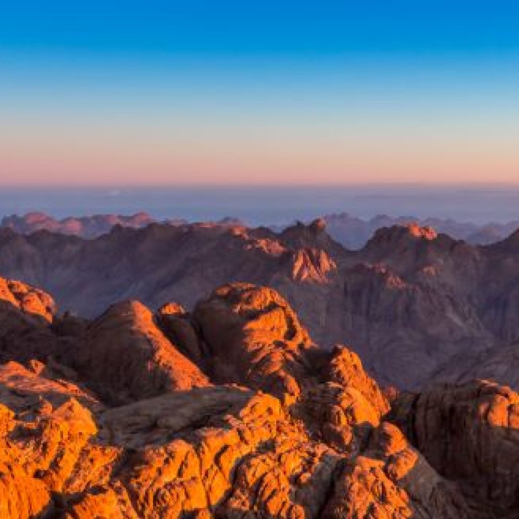
The southern side of the peninsula is formed of Granite and has a sharp escarpment that subsides after a narrow coastal shelf that slopes into the Red Sea and the Gulf of Aqaba. Moving northward, the elevation decreases in to a limestone plateau. The northern third of Sinai is a flat, sandy coastal plain, which extends from the Suez Canal into the Gaza Strip and Israel.
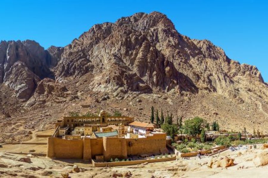
Mount Catherine 2640 m is the highest point in Egypt, which exists in the centre of the southern part of Sinai. There is also the famous Mount of Moses 2285 m and Greek Orthodox monastery of St. Catherine.
Sinai have a very old history since the time of the pharaohs as it was the east gate of Egypt, and they extracted turquoise and copper. In the modern times the strategic importance of Sinai increased, and it became where the Arab-Israeli Wars of 1956, 1967, and 1973 took place.
Sinai was considered by the Egyptian government a single governorate till the Israeli occupation of Sinai in 1967. In the 1973 war, the Egyptian army crossed the Suez Canal and recaptured territory in the Sinai. Under the Camp David accords (1978) and Egyptian-Israeli peace treaty (1979), by 1982 after all of Sinai was returned to Egypt, the central government divided the peninsula into two governorates. North Sinai has its capital at Al Arish and the South Sinai has its capital in At Tur.
The population in Sinai is composed manly of Bedouins whom they are stationed near the water resources or in the known tourist’s cities in Sinai as, Saint Catherine, Dahab, Taba, Nuweibaa and Sharm el Sheikh.